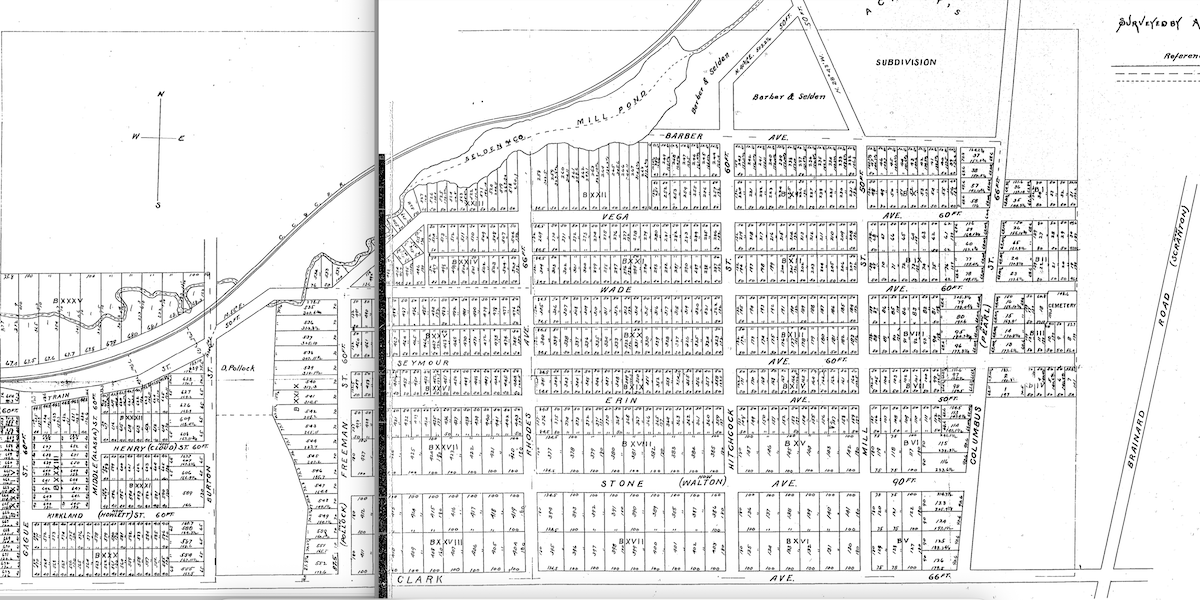
This is a plat map of Hiram Stone's 1853 subdivision of lands then located in Brooklyn Township, just south of Ohio City. Today, the lands lie on the west side of Cleveland. | Date: 1853 | Source: Cuyahoga County online deed and plat recordsDownload Original File
Source
Cuyahoga County online deed and plat records
Date
1853
"H. Stone's Additional Subdivision to Ohio City and Cleveland" appears in: St. Mary Cemetery