Moreland Doubles and Bungalows
Residential Development in Shaker's Former East View Village

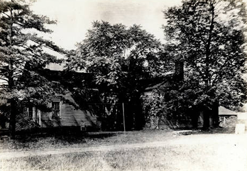
Visible along the tree-lined streets of Shaker Heights’ South Moreland neighborhood, large porches embellish the first and second stories of double family homes. These stately dwellings offer passersby clues to the area's unique story of development as East View Village during the first two decades of the 20th century.
One might be inclined to think that the homes of South Moreland existed prior to the area’s annexation by Shaker Heights in 1919. Similar to almost half of the housing in the suburb, however, the Moreland neighborhood emerged amid a flurry of construction during the 1920s. While many of the buildings no longer stand, more than 550 homes were erected in Moreland during this era of unprecedented growth for the Village of Shaker Heights. The distinctiveness and historical significance of the neighborhood speaks to the timing and circumstances of residential development in Shaker Heights' lower region, previously a part of East View Village. The differing paths of growth for these two communities converged following the exclusive suburb's annexation of the rural village, contributing to the present-day boundaries - and character - of the City of Shaker Heights.
Histories of Shaker Heights typically center upon the successes of the Van Sweringen brothers in growing what would become one of America’s premier suburbs. Central to this story is the Van Sweringens’ adherence to strict guidelines for the appearance of homes and landscapes, made possible by their company's singular control over the large tract of land initially laid out as the suburb. Through the implementation of deed restrictions, highly-regulated building standards and zoning ordinances, the Village of Shaker Heights became known for its harmonious architectural consistency, beautified public grounds, and highly landscaped streetscapes. However, the Moreland neighborhood, along with other small pockets of land along the edges of the city, offer a different and equally important side to the story of development in Shaker Heights.
The region currently encompassing much of the Moreland, Lomond, Sussex, and Fernway neighborhoods was once a part of East View Village. Established in 1906 from lands of the declining farming community of Warrensville Township, East View Village originally included the area between East 140th Street and Warrensville Center Road. Harvard Road and the lands held by the Shaker Land Company acted as the southern and northern boundaries, respectively. With Cleveland growing inexorably to the west, the decision to carve out a village within Warrensville Township was likely rooted in concerns of being annexed by the emerging city. Since the turn of the century, portions of Brooklyn Township, Newburgh Heights, Glenville, and South Brooklyn had been annexed to Cleveland by way of both community choice and court order. While annexation provided governmental services and municipal facilities to surrounding regions, opponents often cited the pitfalls of decreased governing independence and the perceived corrupting influences of the city.
During its brief existence between 1906 and 1919, East View Village was both a farming community and an emerging middle- and working-class neighborhood for eastern and southern Europeans living along Kinsman Road. The semi-rural region, probably best known to Clevelanders as a speed trap along their route to Randall Park Race Track, was in the path of suburban development. Land in East Cleveland, Cleveland Heights, the Village of Shaker Heights, and East View Village was being acquired and improved by residential developers by 1913. Among these speculative interests in East View Village were the Van Sweringen brothers, who had already acquired properties in what would become Shaker Heights' Fernway neighborhood. At the time, nearly all grounds within a nine-mile radius of Cleveland’s city center had been divided into lots, and the reach of allotment dealers extended from the eastern edge of Bratenahl down to Bedford. A 1915 appraisal of the region reflected East View Village lands as having grown in value more than any other district, with an increase of more than two and a half times their worth in under five years.
The increase in land value, however, did not mean the small village was without its problems. Initially tied to the City of Cleveland for select municipal services, a policy was instituted by Cleveland's Board of Education in 1913 that discontinued the practice of providing education to regional children by annexing suburban school districts. The following year, Cleveland’s fire department announced it would no longer respond to East View Village fire alarms following the refusal of residents to pay a bill. Agreements for fire protection and access to certain schools would eventually be made with the Village of Shaker Heights, but the small community remained tied to outside municipalities for providing basic services to its populace. The increase in land values also meant that East View Village would be subject to larger tax levies by the City of Cleveland.
Not everyone preferred village life. Residents along East 140th Street petitioned for annexation by Cleveland in order to receive cheaper water services in 1914. Still, growth was on the horizon. Van Sweringen interests needed to build a large population base to financially support their planned rapid transit system. Agents for the real estate entrepreneurs pursued all available East View Village farmlands near the Shaker Heights enclave. The Shaker Overlook Company, along with a host of other allotment dealers, was also busy acquiring, subdividing, and improving lands in East View Village and the eastern border of Mount Pleasant. Formed by Emory H. Komlos and Clifford E. Sherry, the Shaker Overlook Company, the Rapid Transit Land Company, and the Parkhill Land and Allotment Company developed over 1,350 building lots in the areas to the west and south of Shaker Heights beginning in 1915.
While the Vans marketed Shaker Heights as a high-class suburb, the allotments in East View Village were designed to attract people of more limited means. Propelled by the promise of a rapid transit system that would drastically reduce travel time to Cleveland, East View Village property dealers attempted to entice buyers with large lots, churches and schools open to Catholics and Protestants alike, and a year of free potatoes delivered to their doorstep. Additionally, advertising for these lands mirrored the marketed attributes of Shaker Heights: plentiful sunshine, pure air, stable property values, and neighbors of the “right sort.”
In 1917, a majority of the lands held by the Shaker Overlook Company was annexed to Cleveland. This included substantial properties on the southwest outskirts of what was to become the Shaker Heights border. The land company, along with a small host of other developers, maintained small lots of lands in what is now the Moreland neighborhood. By 1918, they were beginning to sell new doubles and single-family homes along the border of Shaker Heights, as well as on Milverton, Birch (Colwyn), and East View (Sutton) Roads.
With large portions of East View Village already annexed to Cleveland by 1919, the remaining residents of the small village voted in favor of becoming part of Shaker Heights. This acquisition of land created the current southern boundaries of Shaker Heights, and brought in areas that now compose the neighborhoods of Moreland, Sussex, Lomond, and Fernway. As evidenced by a 1922 map of properties being sold by the Van Sweringen Company, the brothers had purchased and subdivided nearly all annexed lands. Beyond a handful of randomly located lots in Lomond and Sussex, the only substantial areas not held by the Van Sweringens were the entire South Moreland neighborhood between East 156th Street and Lee Road and the southernmost portion of North Moreland.
Having evaded development by the Van Sweringens, these lands were not subject to the deed restrictions or architectural standards placed upon other lands within Shaker Heights. Following the opening of the Shaker Heights Rapid Transit in 1920, demand for housing in the exclusive suburb grew. During the 1920s, nearly 550 building permit cards were filed for the Moreland area. Comparatively, 67 permits were requested during the 1930s and 234 cards filed in the 1940s. The South Moreland neighborhood quickly filled in with American Foursquares, Bungalows, Cleveland Doubles, and smaller single-family houses. This new housing reflected the popular types and styles of homes being built in Cleveland's inner-ring suburbs such as Mount Pleasant and Newburgh Heights. As advertised, the land companies were building homes within the exclusive suburb for middle- and working-class consumers.
The Van Sweringens similarly began exploring the development of more affordable housing and apartments for their newly annexed lands. These efforts, however, were guided by more traditional architectural leanings. A myriad of rules for home and apartment construction were published, and an architectural review board designated to monitor new construction on their lands. The new standards countered the popular building trends that characterize development in the South Moreland neighborhood. All homes were required to be two stories in height, thereby barring Bungalow style structures. Apartments, two-family houses, duplex houses and terraces were allowed, but contained to designated streets. The multifamily homes built on approved grounds, however, were required to have the outward appearance of being single-family structures.
With these restrictions firmly in place by the mid-1920s, the Moreland neighborhood would stand architecturally distinct among its Shaker Heights counterparts. The community's vernacular doubles and single-family homes reflect early 20th-century building trends in both Cleveland and the United States. The homes are also a reminder of the varied paths that converged with the suburb's annexation of East View Village, and how these regional influences shaped both the development and character of what is now the City of Shaker Heights.
Images