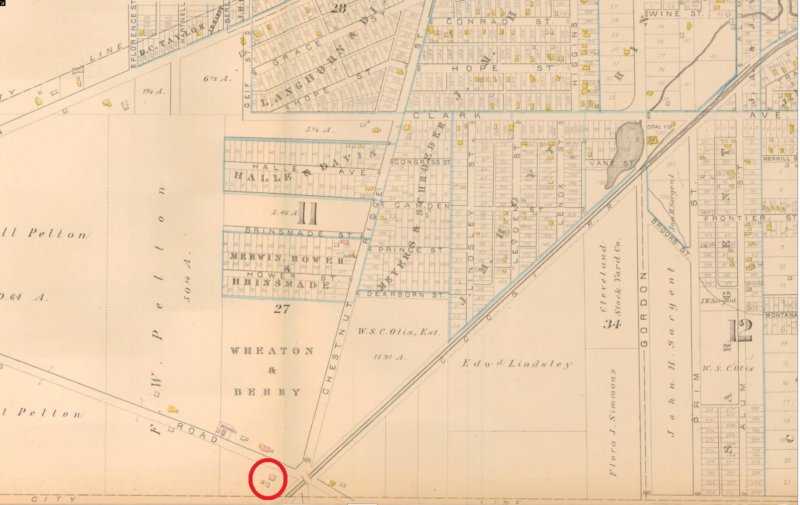
In this section of the 1881 Atlas Map of Cleveland, the Alexander Kimberley house at 7403 Denison is circled in red. This year would have marked Kimberley's fifteenth year as a gentleman farmer out in the countryside. However, as the map clearly reveals, the city was beginning to intrude upon Kimberley's retreat. Working-class residential subdivisions were being built to serve German and Czech immigrants settling in the area, the eastern part of which would soon become known as the "Isle of Cuba". Many of these immigrants worked at west side industries and businesses, including the nearby Union Stockyards on Gordon (W. 65th) Street south of Clark, which was established in the same year that this map was created. | Source: Cleveland Public Library, Digital Maps CollectionDownload Original File