Euclid Golf Club
Many Cleveland-area residents are familiar with Fairmount Boulevard, the beautiful, winding thoroughfare that treks east from near the top of Cedar Hill in Cleveland Heights. The turreted, half-timbered French Eclectic mansion that sits on an irregular triangle of rockbound land at the intersection of Cedar Road and Fairmount Boulevard forms the de facto gateway to a beautiful Cleveland Heights neighborhood known as Euclid Golf. The house also was the home of Euclid Golf's developer, Barton Roy Deming. It sits halfway between what were, at one time, the 9th and 11th holes of an 18-hole golf course.
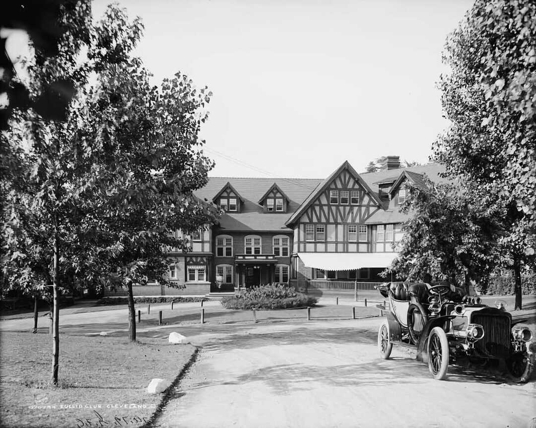
For barely a decade, the property that became the Euclid Golf allotment was an actual golf course sitting on land that quickly became too valuable and attractive to developers to remain in its present form. Thus, in 1912, the prestigious Euclid Golf Club, located partially on land owned by John D. Rockefeller, was disbanded. At that time, Barton Deming convinced Rockefeller that the upper nine holes of JDR's portion south of Cedar could be transformed into one of finest residential neighborhoods in the country. Deming's plan called for a grand boulevard on either side of the streetcar right-of-way that would connect with the Van Sweringen brothers' Shaker Village to the east. Deming relied on Rockefeller's influence and prestige, as well as his bankroll, to develop Euclid Golf.
Traveling up Fairmount Boulevard, it is easy to marvel at the beauty and majesty of the homes, as well as the grace of Fairmount's curvilinear path, the majestic oak tress that line the sidewalks, and the row of flowering trees on the median. Harder to imagine is that this area was once largely treeless and, from 1902 to 1912, was the heart of a golf course. Try to envision the Club's formal entrance-way at the site where the Alcazar Hotel now stands at Derbyshire and Surrey Roads. From there, a winding driveway meandered southeast to roughly the corner of Derbyshire and Norfolk roads. This is where the clubhouse stood. From there, duffers would tee off and play an 18-hole course that ran more or less counter-clockwise nearly to Euclid Heights Boulevard on the north and (what are now) South Overlook Road on the west, West St. James Drive on the south and Demington Drive on the east. In addition to crossing Cedar Road, golfers would have to play around Grandview and Bellfield roads, (built in the 1890s) which composed Cedar Heights, the area's first residential neighborhood.
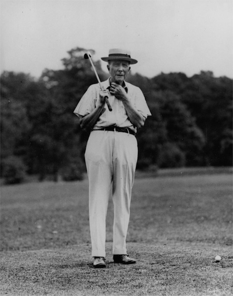
Perhaps the greater challenge was trying to play 18 holes on Sunday. When Rockefeller assented to the golf links' creation, he stipulated that no one could play the portion of the course on his land on a Sunday. Thus, Sunday golfers played the other nine holes twice!
Today, part of the land upon which the Euclid Clubhouse sat is a municipal parking lot on the northeast corner of Cedar and Norfolk roads, used by apartment dwellers just down the hill. The only reminder of the area's onetime use is the adoption of Deming's appellation Euclid Golf when the National Register of Historic Places listed the neighborhood in 2002.
Images